- GPS for plate tectonics
- So cool, see how the west is moving in real time….. http://www.unavco.org/software/visualization/GPS-Velocity-Viewer/GPS-Velocity-Viewer.html
switch it to include the plate boundaries and “half of them” for the markers. - Even cooler. so is every plate; NASA’s Data http://sideshow.jpl.nasa.gov/mbh/series.html
click on one in California! or Virginia. - For a single event, using established GPS stations to measure their motion relative to each other, rather than correct the satellite signal


Eastward motion. The jump in 2008 is an earthquake in south Iceland. Note some stations go east and some west (negative) due to rifting. Source page: http://hraun.vedur.is/ja/englishweb/gps/cts/siszall.html
- So cool, see how the west is moving in real time….. http://www.unavco.org/software/visualization/GPS-Velocity-Viewer/GPS-Velocity-Viewer.html
- Precision Agriculture (real-time DGPS)
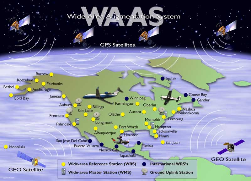
- using radio signals from Air Traffic Control system (WAAS), coast guard (DGPS), etc
- often better than 1 m
- precision agriculture & construction, local real-time differential (< 10 cm)

http://www.innovativegis.com/basis/present/GW98_PrecisionAg/GW98_PrecisionAg.htm
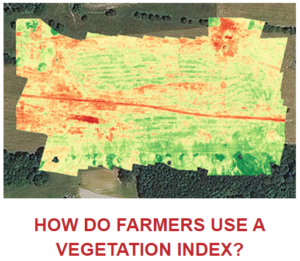
Examples: real-time harvest yield plotting capability (or for water/fertilizer application) using drones and dGPS
The GPS can drive a grader, and lift the blade as needed to level a field, Or drive a tractor or harvest to plant, apply the fertilizer, and bring in crops. - Using a GPS guided UAVs to map the current growing conditions,

or just about anything. http://precisionhawk.com/ (note the number of different UAV mounted sensors including hyperspetral and lidar).
- Landing airplanes
- Realtime differential GPS – Wide Area Augmentation System (WAAS) for Air Traffic (FAA “precision approach”)

http://www.faa.gov/about/office_org/headquarters_offices/ato/service_units/techops/navservices/gnss/waas/howitworks/
- Realtime differential GPS – Wide Area Augmentation System (WAAS) for Air Traffic (FAA “precision approach”)